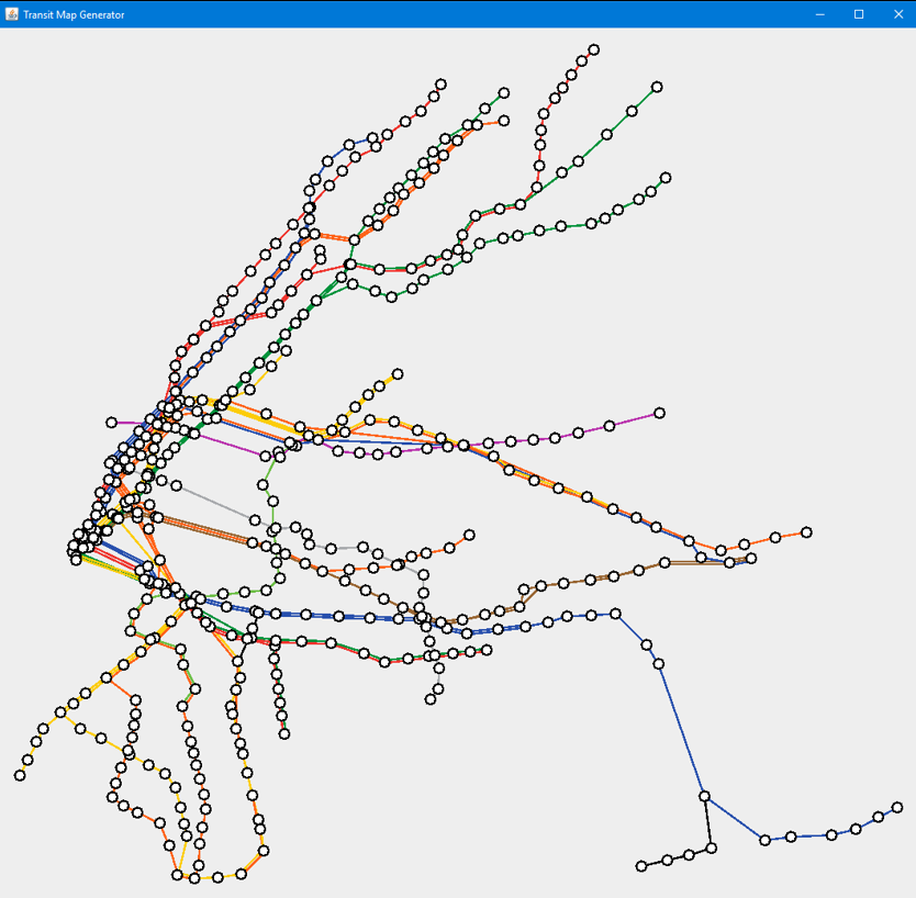
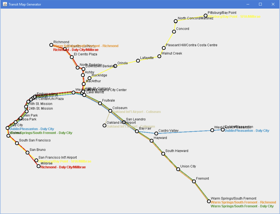
Automated transit map generator
|
This Java program reads data from a transit agency's GTFS feed (a standardized, publicly available format for data on public transit systems) and draws a basic map of one or more of that agency's routes. This was created as my graduation project for a degree in Computer Science from Pacific Lutheran University.
Program code and executables can be found on GitHub, or you can read the report on it here. |
| |||||||

